GIS Courses
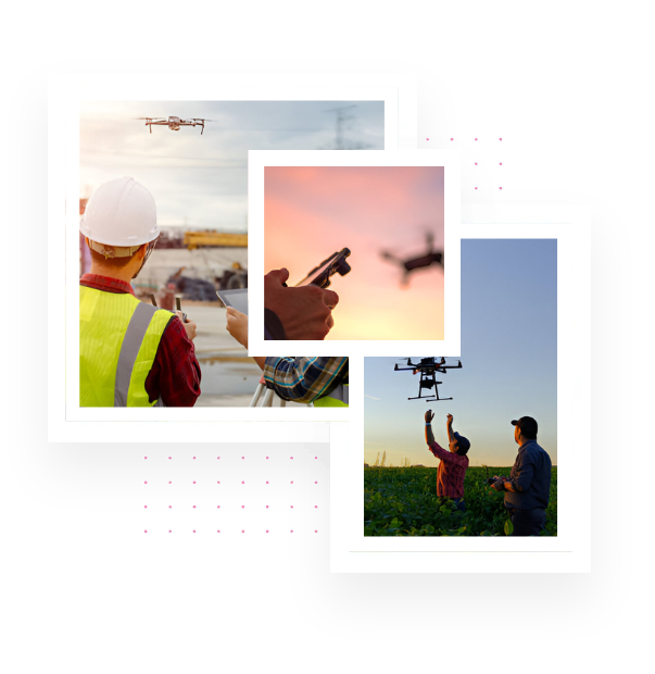
We introduce our GIS and Drone Training Programs designed to equip students and professionals with practical skills in geospatial technologies. As a company working at the intersection of UAV applications, GIS, and LiDAR, we aim to bridge the gap between academic learning and industry requirements.
Explore Our Courses
Pricing Plan

GIS Trailblazer
10 Days
₹
10,000
- Advanced mapping
- Spatial Analysis
- Real-world Applications

GIS Visionary
15 Days
₹
15,000
- Python for GIS
- Automation
- Remote Sensing
- Web GIS and Dashboard building

GIS Mastery + Internship
30Days
₹
25,000
- End-to-end training
- Live Project Work
- Career Support
- Certification
Why Choose Us?
- Hands-on sessions using industry software: QGIS, ArcGIS, Google Earth Engine, Python, PostGIS
- Trainers include certified drone pilots, GIS experts, and remote sensing professionals Focused on career readiness, entrepreneurship, and applied learning
- Opportunity for live project experience and internships
Who Can Join the Program
Target Audience
Final-year students (Engineering / Geography / Agriculture / Planning)
Postgraduates & research scholars
Faculty development programs (FDPs) also available

